As a starting point to the design proposal I used Photoshop, Grasshopper plug-ins and Lidar data to create a terrain analysis, showing greenery, water slope directions, height map etc.

As a starting point to the design proposal I used Photoshop, Grasshopper plug-ins and Lidar data to create a terrain analysis, showing greenery, water slope directions, height map etc.
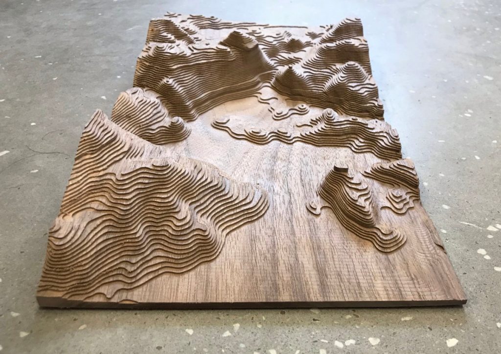
CNC milled model: