After a brief look at the site and requirements of the brief, I set out 3 key criteria for selecting a location for the campsite:
- Away from existing buildings
- Interesting variations in topography
- Close to water
By using the height map from Lantmäteriet to analyse steepness, and a plan of the island from Openstreetmaps, I was able to overlay this information and select a suitable site.
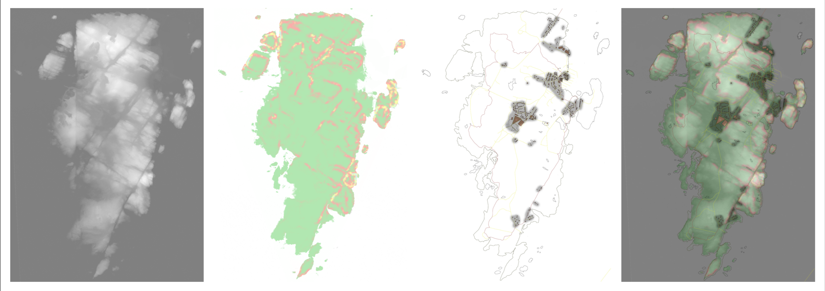
The region that best fits my criteria is the land surrounding Dödviken, or the “Bay of Death”, on the North West corner of the island. A closer look at the geometry of this area shows that it is a cluster of islands that enclose an inlet of water- which could create a boundary and give the water a feeling of enclosure and privacy.

For this reason, I would like the core circulation of the camp to take the form of a loop- picking up on existing ridges in the landscape and crossing the water in the most feasible locations to create a continuous path around the water.
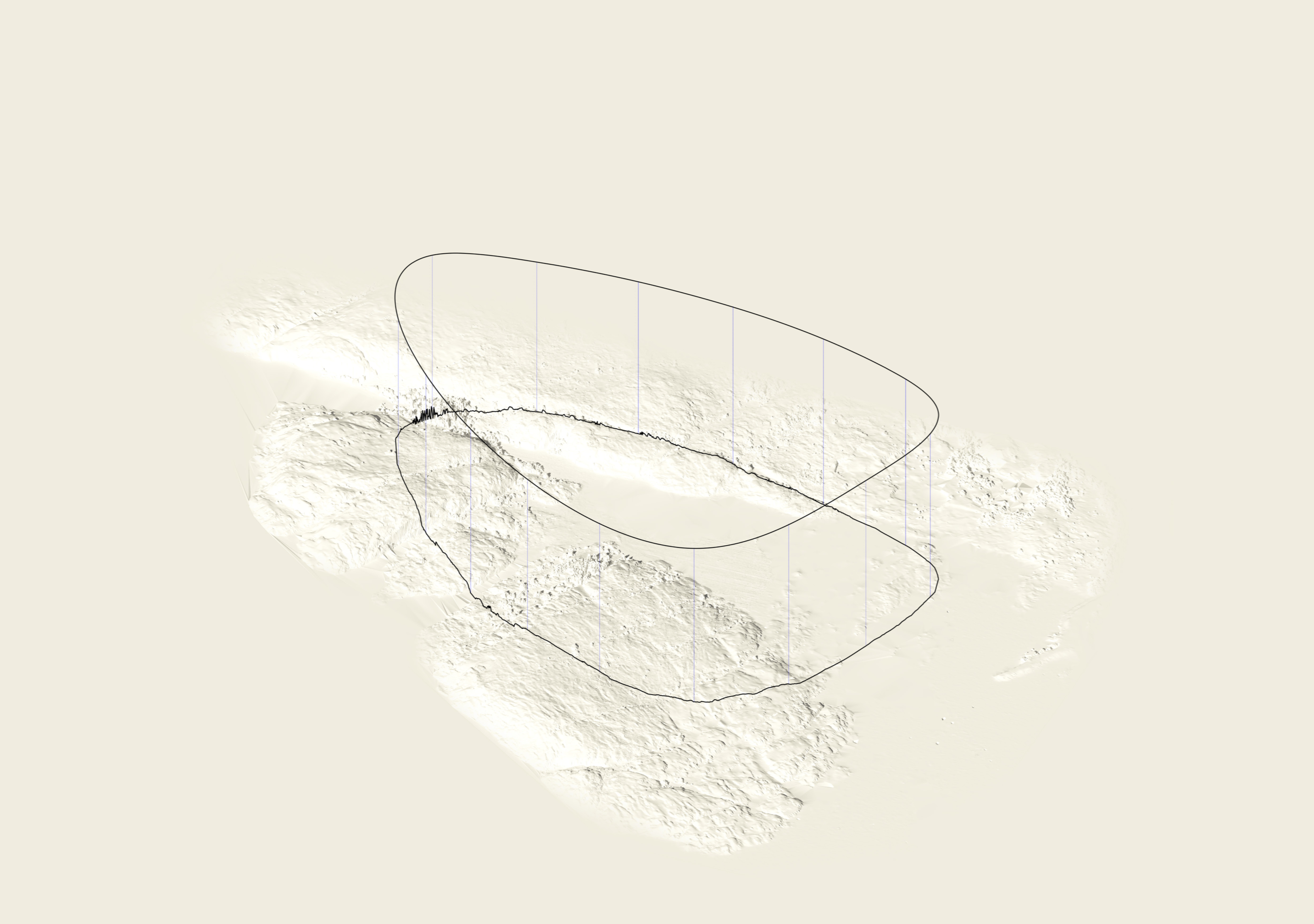
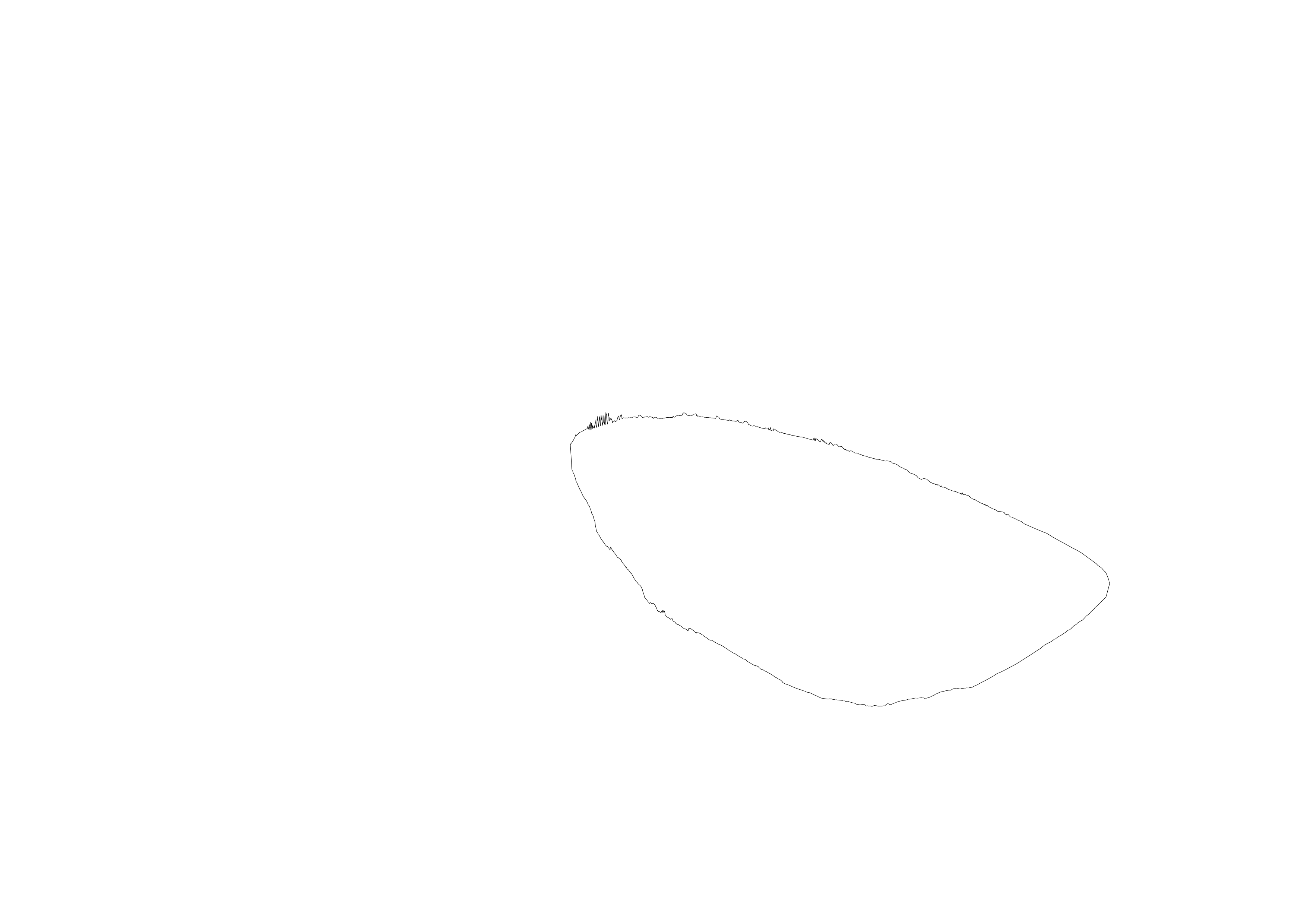
By projecting this loop onto the site, and unfolding it into a straight section, I can start to analyse and populate the camp along this linear (but looping) path.
The terrain varies quite dramatically across this route, both in altitude and type, crossing highs and lows, rock, trees and water. The idea is that this path be constant throughout the campsite, and provide access to the spaces and places along it which accordingly respond to the landscape. By taking the average altitude along the section for the path to sit along, it either takes the form of a bridge, tunnel, or just a path, depending on its context.