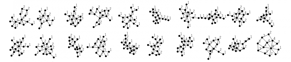
This week, I have been working on finetuning the Culebra swarms while also experimenting more with generating meshes in Grasshopper using different raster images of the topography.
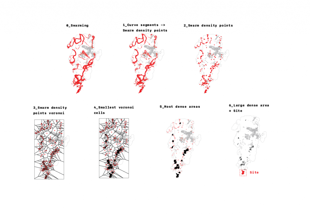
After creating a simple script to detect the most dense areas from one of the swarm iterations from last time, I have chosen the southern tip of the island, Draget, to be my site.
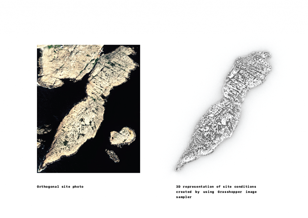
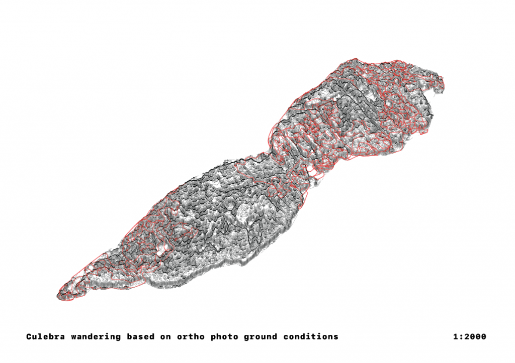
The work done this week sparked my interest in looking even more in detail in the different possible outcomes of using image samplers on different topographical data sources; more specifically, I am going to investigate the different outcomes between the heightmap raster image versus the ortho photo from Lantmäteriet. This investigation, in combination with seeing in how the swarming agents from Culebra can interact with both each other and the different topography meshes, is what I am planning on looking at during the coming weeks.